Simply put, Point Reyes is awesome. In fact, I LOVE POINT REYES! I’ve run all the trails in the park, several times over by now and I know it probably better than anywhere else I spend time outside. In this post, I’ll cover a few running/hiking loops located in the Bear Valley area, which is where the visitor center is. This is a great location to begin exploring the area and you can begin or end by stopping by the visitor center.
Maps and Planning
Please feel free to use this interactive map of the Bear Valley area. If you use your smart phone, GPS, or GPS watch for navigation, the map will allow you to download these routes. If you’d like to know more about doing that, check out this post on mapping and navigation. By the way, I’m not affiliated with Caltopo, but I’ve used their products and services for years. I trust and recommend them.
Things to Know
The trails at Point Reyes are great hiking and running routes, but they’re largely closed to biking. Many of the trails are open to equestrians, so please respect the rules so everyone can recreate safely. The regulations are also quite limiting when it comes to where dogs are and aren’t allowed. Please do your homework on that and as a rule of thumb, consider the area non-dog friendly. You should also check for any water service outages (via the website or speak to the rangers) before embarking on your outing; the pipes can be unreliable out there.
Family (kid) Friendly Hikes
- About 1 mile each
- Minimal vertical gain or loss
- NO water on the trails
- Restrooms at the start / finish
For family friendly options, check out the Earthquake Trail and/or the Woodpecker Trail. The former is a paved path, the later is an actual dirt trail. Both are short and sweet. Keep your eyes open for wildlife! I have spotted weasels, badgers, bobcats, and all sorts of birds along these beginner friendly trails!
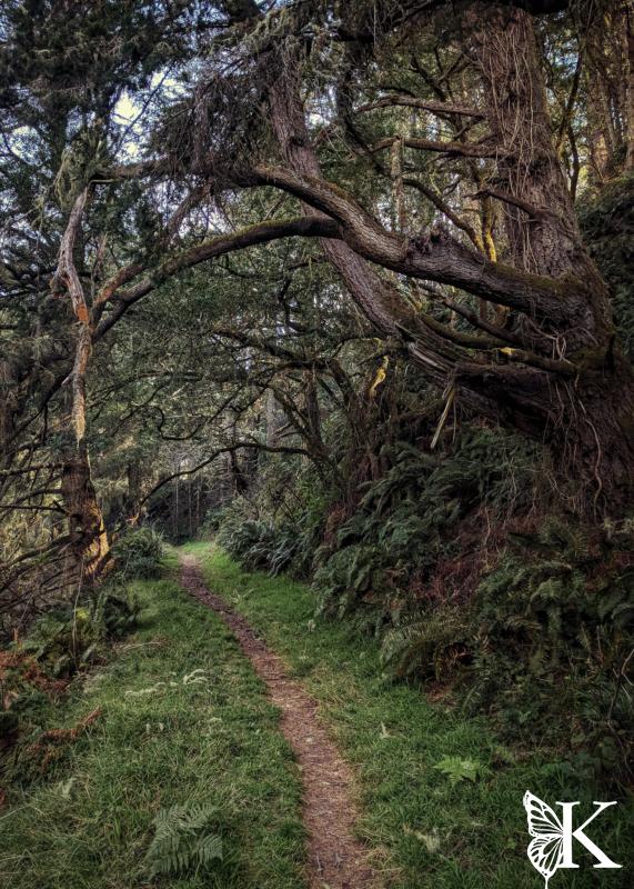
Bear Valley to Wittenberg – Into the Forest!
- 7 miles
- 1400 feet of climbing
- NO water on the trails
- Restrooms at the start / finish
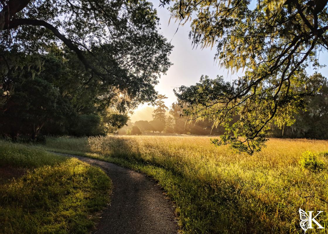
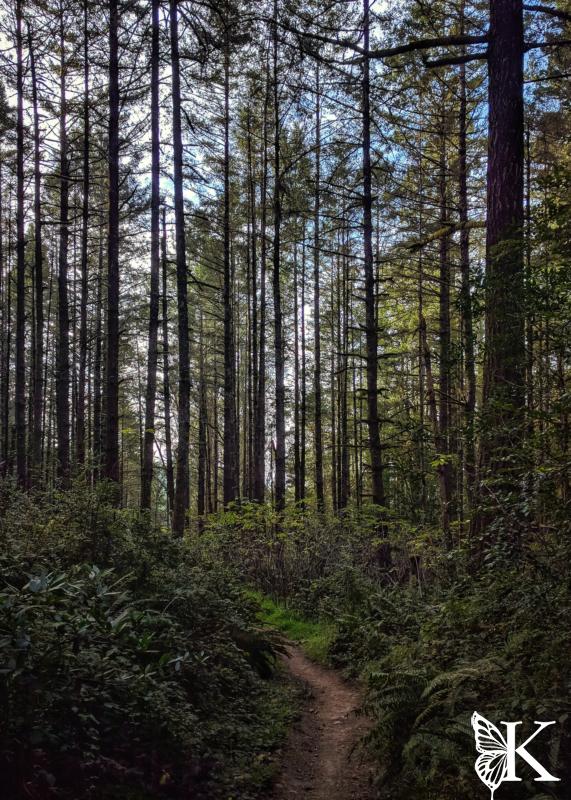
The trail leading around the pasture at the North side of the visitor center will lead around the meadow before taking a sharp turn onto Horse Trail, which you’ll want to take. Once you begin climbing Horse Trail, it immediately becomes a beautiful forested single track. You can reach Mt. Wittenberg via Z-Ranch Trail (my preference) or Sky Trail. Sky Trail has more up and down and more hikers. From the top of Wittenberg, double back and instead of using Mt. Wittenberg trail, use Meadow Trail — it’s more scenic and a much less crowded way of returning to the valley. Alternatively, make the loop longer by following Sky Trail South to Old Pine Trail (also very pretty scenery). Once you have returned to Bear Valley Road, take a left and follow it back to the visitor center.

To the Coast, then to the Sky!
- 13.7 miles
- 1700 feet of climbing
- Water available via short detour to Coast Camp (mile 8.5)
- Restrooms at start/finish and at Coast Camp
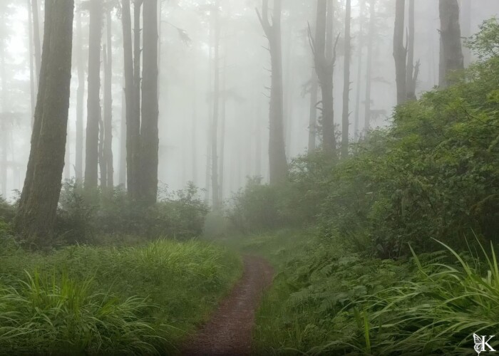
For a bit of a longer run, try this lollipop loop. If you are craving some coastal views, this is the one for sure. You’ll head out Bear Valley Road (which is among the most beautiful fire roads in Marin) heading Southwest and eventually taking the Coastal Trail junction to the North. Runners who have extra time and provisions might consider a small detour to Kelham Beach. Enjoy the views along Coastal Trail, and if you need water or a restroom, pass Woodward Valley Trail and follow signs to Coast Camp, then double back. Climb Woodward Valley and stop to catch your breath and enjoy the views of Point Reyes proper. When you reach Sky Trail, take a left to head North. Run through the forest on Sky Trail for a ways, before descending Meadow Trail back to the Valley – or continue on Sky to Z-Ranch Trail, then to Horse Trail for a longer run if you’re enjoying the forest bathing!
Through the Meadows and Forest to Glen Camp
(pics)
- 14.6 miles
- 2100 feet of climbing
- Water available at Glen Camp (mile 9.6)
- Restrooms available at start/finish and at Glen Camp
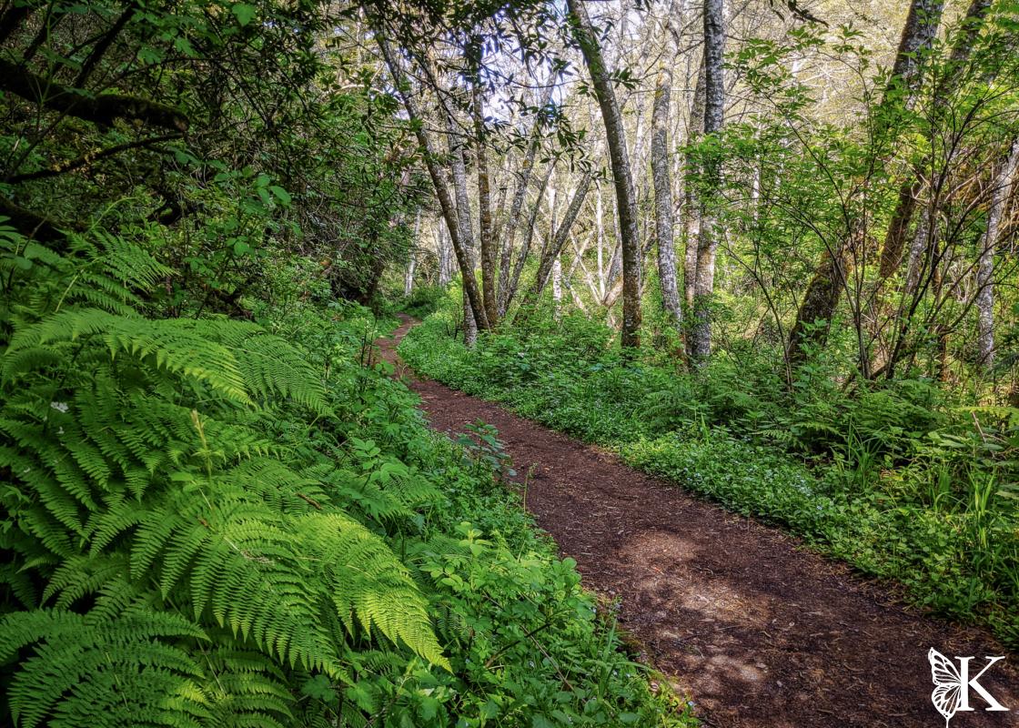
This is something a little different that’s better done in the dry season. You’ll head South from Bear Valley, then take a left onto Rift Zone Trail. You will follow this trail across some meadows and pastures. There may be cows around, close the gates behind you. This is also a good place to spot bobcats and badgers! Eventually you’ll reach Stewart Trail (actually a fire road), where you will hang a right and start climbing. Look for the junction to your right for Greenpicker Trail, which is a beautiful single track through the forest. Greenpicker trail is the star of the show here, enjoy it! Stay on Greenpicker, taking junctions to the right signed for Glen Camp. At the camp, you’ll find water and restrooms. Leave Glen Camp toward Bear Valley (indicated by the trail signs); when you reach Bear Valley Road, follow it back to the visitor center.
Other Nearby Areas
- Point Reyes Northern Zone
- Point Reyes Southern Zone
- Point Reyes Bear Valley Area
- Tomales Bay and Tomales Point