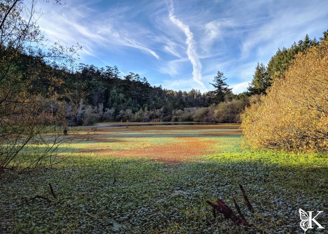
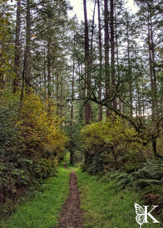
In case you didn’t already catch it in any of my other Points Reyes posts, I’d just like to mention that I LOVE running and hiking in Point Reyes! The South Zone of Point Reyes has a lot of longer trails with steeper climbs and descents and fewer people. Well, there are fewer people until you get closer to Bass Lake, and Alamere Falls. These are mostly casual hikers who will not be on the more adventurous trails, so you’ll mostly have the scenery to yourself outside those sections — and it is some of the most spectacular scenery in the National Seashore!
Maps and Planning
Please feel free to use this interactive map of the Southern Point Reyes area. If you use your smart phone, GPS, or GPS watch for navigation, the map will allow you to download these routes. If you’d like to know more about doing that, check out this post on mapping and navigation. By the way, I’m not affiliated with Caltopo, but I’ve used their products and services for years. I trust and recommend them.
Things to Know
The trails at Point Reyes are great hiking and running routes, but they’re largely closed to biking. Many of the trails are open to equestrians, so please respect the rules so everyone can recreate safely. The regulations are also quite limiting when it comes to where dogs are and aren’t allowed. Please do your homework on that and as a rule of thumb, consider the area non-dog friendly. You should also check for any water service and outage alerts (via the website or speak to the rangers) before embarking on your outing; the pipes can be unreliable out there.
Planning to Visit Alamere Falls?
If so, there are a few things I really want to stress. First, the trail to the upper viewing area can be pretty overgrown, but it’s passable. Second, do NOT attempt to scramble from the top of the falls to the beach… the sandstone is unstable and it’s a good way to take a short trip to the afterlife. Lastly, if you’re going to travel from Wildcat Camp along the beach to the falls, check the tides and plan accordingly. If you can’t reach Wildcat Camp more than 3 hours before the next high tide, you should not attempt to hike to the falls. Even that might not be enough time if the high tide is going to be +4 or +5 feet. Be safe out there, the ocean is no joke.
My Favorite Run
- Map
- 14.7 miles
- 2600 feet of climbing
- Water at Wildcat Camp (a short detour)
- Restrooms at start/finish and at Wildcat Camp
Out of the hundreds of miles of trails that weave through the most beautiful coastal forests and coastal views, this is my favorite route to run. Although it’s a challenging one, it’s my favorite run of all the different possibilities at Point Reyes. Having said that, I clearly have a lot of Point Reyes recommendations for running and hiking and you can’t go wrong with any of them!
This loop starts and ends at Five Brooks Trailhead. There’s an optional detour to Alamere Falls and to Wildcat Camp which has water and restrooms — and some great views of the beach (as well as access to it at Wildcat).
Begin by heading around the South side of Mill Pond, then head South on Olema Valley Trail. When you reach Bolema Trail, take that junction and begin a more serious climb. You’ll arrive at a multi-way trail junction, find Lake Ranch Trail heading South. Enjoy the forested views as you gradually descend to Coast Trail. Take a right to head Northward on Coast Trail; you’ll pass by Bass Lake and you may see a lot more people in this area due to the Palomarin trailhead being nearby. Once you pass Alamere Falls, they’ll disappear again. Eventually, you’ll come to a fork. To the left is Ocean Lake Loop, which is the more direct and scenic way to Wildcat Camp if you’re in need of water or some more awesome views. Otherwise, take the right fork.
You’ll be looking to your right for Old Out Road, which was once a farm road. Now, it’s a trail with a legit climb that can also be bushy. If you haven’t got your first brush with stinging nettles yet, this could be it! When you come to the T-junction with Alamea Trail, take a right. After not too long, you’ll reach another T-junction with Ridge Trail, take a left toward Stewart Trail (the main fire road in this area). It’s funny that “roads” are trails and “trails” can be roads out here, that’s just how it is! Go directly across Stewart Trail to beautiful Greenpicker Trail, or follow Stewart for an almost-as-nice option. Keep straight/right at any junctions you come to. Eventually, you’ll pop back out on Stewart Trail, not far from Mill Pond. You can stay on the North Side of the pond this time to return to the parking area. Give it a shot, see if you love it as much as I do!

Five Brooks – Ridge Trail – Olema Valley
- Map
- 12 miles
- 2100 feet of climbing
- NO water
- Restrooms and start/finish
This is a very cool run that covers a few really awesome forested trails. Begin by heading around the South side of Mill Pond, then heading South on Olema Valley Trail. When you reach Bolema Trail, take that junction and begin a more serious climb. You’ll arrive at a multi-way trail junction. Find Ridge Trail heading South and hop on that. This is another great forestry trail with large, branchy trees… they always make me think a witch would live out here, for some reason! Anyway, follow Ridge Trail until you reach the junction with Texiera Trail, take that to your left and enjoy the descent. When you reach Olema Valley Trail, turn left to head North. This trail has a lot of cool Bay Laurel trees along the creek. It’s very scenic in here and a nice way to finish out your run as you head all the way back to Five Brooks.


Other Nearby Areas
- Point Reyes Northern Zone
- Point Reyes Bear Valley Area
- Tomales Bay and Tomales Point


